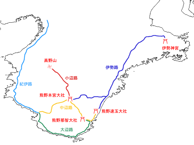
File:Map Kumano Kodo (ja).png
Map_Kumano_Kodo_(ja).png (640 × 480像素,文件大小:72 KB,MIME类型:image/png)
文件历史
点击某个日期/时间查看对应时刻的文件。
| 日期/时间 | 缩略图 | 大小 | 用户 | 备注 | |
|---|---|---|---|---|---|
| 当前 | 2008年5月7日 (三) 03:39 |  | 640 × 480(72 KB) | File Upload Bot (Magnus Manske) | {{BotMoveToCommons|ja.wikipedia}} {{Information |Description={{ja|çéå¤éã®å°å³ ja::ç»å:JpLargeMap_Kinki.pngããä½æã}} |Source=Transferred from [http://ja.wiki.x.io ja.wikipedia] |Date |
文件用途
以下3个页面使用本文件:
全域文件用途
以下其他wiki使用此文件:
- en.wiki.x.io上的用途
- ja.wiki.x.io上的用途
- ja.wikivoyage.org上的用途
- zh-yue.wiki.x.io上的用途


