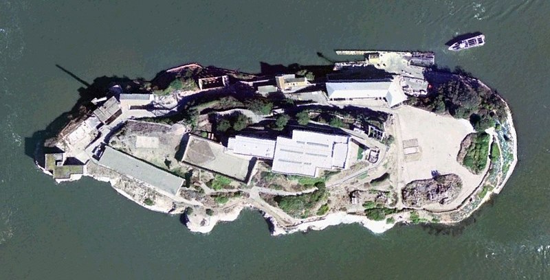
File:Satellite Image of Alcatraz.jpg

預覽大小:800 × 408 像素。 其他解析度:320 × 163 像素 | 640 × 326 像素 | 1,059 × 540 像素。
原始檔案 (1,059 × 540 像素,檔案大小:142 KB,MIME 類型:image/jpeg)
檔案歷史
點選日期/時間以檢視該時間的檔案版本。
| 日期/時間 | 縮圖 | 尺寸 | 使用者 | 備註 | |
|---|---|---|---|---|---|
| 目前 | 2005年8月12日 (五) 21:22 |  | 1,059 × 540(142 KB) | BLueFiSH.as | *{{english}} Satellite Image of Alcatraz *{{french}} Photo satellite de Alcatraz *{{german}} Satellitenbild von Alcatraz *USGS Urban Area Ortho: 0.25 m - image created with NASA World Wind {{PD-USGov-USGS}} {{World Wind}} |
檔案用途
下列頁面有用到此檔案:
全域檔案使用狀況
以下其他 wiki 使用了這個檔案:
- ca.wiki.x.io 的使用狀況
- de.wiki.x.io 的使用狀況
- es.wiki.x.io 的使用狀況
- fr.wiki.x.io 的使用狀況
- fr.wiktionary.org 的使用狀況
- ja.wiki.x.io 的使用狀況
- pl.wiki.x.io 的使用狀況
- ro.wiki.x.io 的使用狀況

