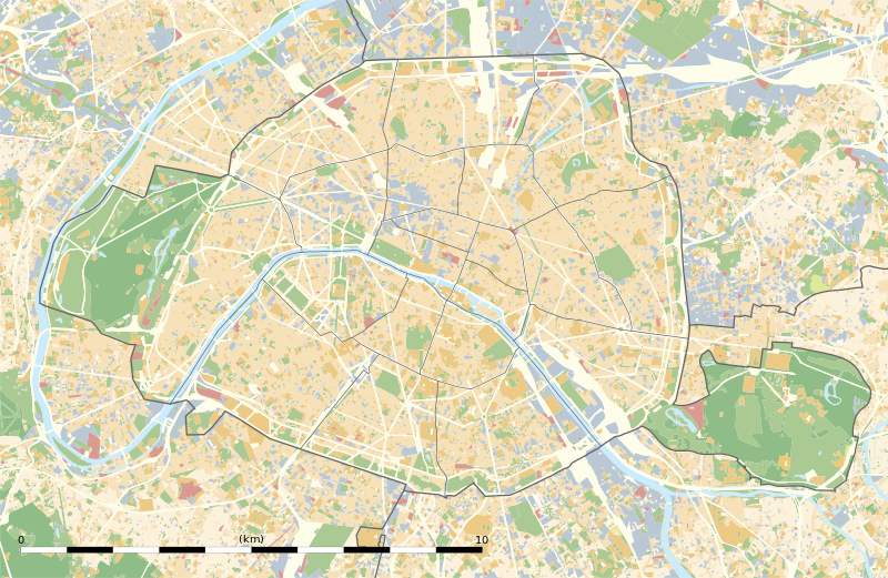
File:Paris department land cover location map.svg

此 SVG 檔案的 PNG 預覽的大小:800 × 521 像素。 其他解析度:320 × 208 像素 | 640 × 417 像素 | 1,024 × 667 像素 | 1,280 × 834 像素 | 2,560 × 1,667 像素 | 1,371 × 893 像素。
原始檔案 (SVG 檔案,表面大小:1,371 × 893 像素,檔案大小:6.75 MB)
檔案歷史
點選日期/時間以檢視該時間的檔案版本。
| 日期/時間 | 縮圖 | 尺寸 | 使用者 | 備註 | |
|---|---|---|---|---|---|
| 目前 | 2015年2月12日 (四) 02:18 |  | 1,371 × 893(6.75 MB) | Sting | == {{int:filedesc}} == {{Location|48|51|22.5|N|02|20|37.5|E|scale:50000}} {{Information |Description={{en|Blank land cover map of the city and department of Paris, France, as in January 2012, for geo-location purpose, with distinct bounda... |
檔案用途
超過 100 個頁面有用到此檔案。 下列清單只列出前 100 筆有用到此檔案的頁面。 您也可以檢視完整清單。
- 万塞讷城堡站
- 万塞讷门站
- 乔治五世站
- 九月四日站
- 佩尔波尔站
- 克利尼昂库尔门站
- 克勒貝爾站
- 列奥米尔-塞瓦斯托波尔站
- 加列尼站
- 勒伊-狄德罗站
- 協和站 (巴黎地鐵)
- 博比尼-龐坦-雷蒙·格諾站
- 卡納瓦萊博物館
- 卢浮-里沃利站
- 古斯塔夫·莫羅美術館
- 吉美国立亚洲艺术博物馆
- 國立中世紀博物館
- 圣保罗站 (巴黎地铁)
- 圣叙尔皮斯站 (巴黎地铁)
- 圣日耳曼德普雷站
- 圣法尔若站
- 圣芒代站
- 坎波福爾米奧站
- 塞夫爾-勒古布站
- 大堂站
- 太子妃门站
- 奥伯坎普夫站
- 奧什站
- 奧德翁站
- 奧斯特利茨站 (巴黎地鐵)
- 奧爾良門站
- 富兰克林·D·罗斯福站
- 巴士底站
- 巴尼奥莱门站
- 巴斯德站
- 巴黎
- 巴黎地下墓穴
- 巴黎大皇宫
- 巴黎植物園
- 巴黎现代艺术博物馆
- 巴黎第一大学
- 市政廳站 (巴黎地鐵)
- 布瓦西耶尔站
- 布雷盖-萨班站
- 帕尔芒捷站
- 帕西站
- 康布罗纳站
- 当费尔-罗什罗站 (巴黎地铁)
- 拉德芳斯
- 拉德芳斯广场站
- 拉斯帕伊站
- 拉沙佩勒站
- 斯特拉斯堡-聖但尼站
- 杜伊乐丽站
- 杜布雷站
- 查理週刊總部槍擊案
- 比尔哈凯姆站
- 民族站 (巴黎地铁)
- 水塔站
- 沙特莱站
- 泰尔讷站
- 洛米埃站
- 烏爾克站
- 特罗卡德罗站
- 瓦万站
- 甘必大站
- 皇宫-卢浮宫博物馆站
- 穆顿-迪韦内站
- 米开朗基罗-莫利托站
- 紅堡站
- 维克多·雨果站
- 羅丹美術館
- 聖普拉西德站
- 聖米歇爾站 (巴黎地鐵)
- 聖莫爾路站
- 聖馬塞爾站
- 艾蒂安·馬塞爾站
- 莱利拉门站
- 莱萨布隆站
- 蒙帕納斯大樓
- 蒙帕纳斯-比安弗尼站
- 蒙馬特公墓
- 蒙馬特博物館
- 蒙鲁日市政厅站
- 讷伊桥站
- 贝罗站
- 赎罪礼拜堂
- 辛普朗站
- 里夏爾-勒努瓦站
- 里昂车站 (巴黎地铁)
- 阿根廷站
- 阿莱西亚站
- 雅克·邦塞尔让站
- 香榭丽舍-克列孟梭站
- 马尔卡代-鱼贩站
- 马约门站
- 龐坦教堂站
- 龐坦門站
- Template:Infobox French commune
- Template:Infobox French commune/doc
檢視連結到這個檔案的更多連結。
全域檔案使用狀況
以下其他 wiki 使用了這個檔案:
- als.wiki.x.io 的使用狀況
- ar.wiki.x.io 的使用狀況
- ast.wiki.x.io 的使用狀況
- azb.wiki.x.io 的使用狀況
- az.wiki.x.io 的使用狀況
- be.wiki.x.io 的使用狀況
- bg.wiki.x.io 的使用狀況
- Бастилия
- Отьой
- Дефанс
- Пер Лашез
- Халите (Париж)
- Музей „Орсе“
- Монмартър
- Университет „Париж-VI: Пиер и Мария Кюри“
- Университет Париж-I Пантеон-Сорбона
- Университет Париж-VII: Дени Дидро
- Университет „Пари-Дофин“
- Национална библиотека на Франция
- Александър III (мост)
- Ил дьо ла Сите
- Монпарнас
- Маре (Париж)
- Жусийо (кампус)
- Музей на изкуството и историята на юдаизма
- Шаблон:ПК Франция Париж
檢視此檔案的更多全域使用狀況。


