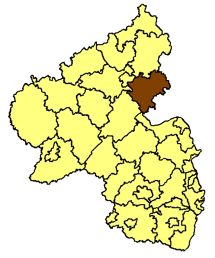
File:Rhineland p ems.png
Rhineland_p_ems.png (419 × 503像素,文件大小:13 KB,MIME类型:image/png)
文件历史
点击某个日期/时间查看对应时刻的文件。
| 日期/时间 | 缩略图 | 大小 | 用户 | 备注 | |
|---|---|---|---|---|---|
| 当前 | 2008年9月13日 (六) 08:21 |  | 419 × 503(13 KB) | Rp. | the old map was wrong (position of Kreisfreie Stadt Frankenthal) |
| 2008年9月10日 (三) 22:09 |  | 188 × 245(10 KB) | Stefan Flöper | better version | |
| 2008年9月4日 (四) 19:37 |  | 419 × 503(13 KB) | Rp. | ||
| 2006年2月28日 (二) 12:26 |  | 188 × 245(10 KB) | Tsca.bot | Karte von Rheinland-Pfalz mit dem Kreis Rhein-Lahn Karten sind selbsterstellt, z.T. durch triviales Ausmalen der Vorlagen aus [http://en.wiki.x.io/wiki/Wikipedia:WikiProject_German_districts/Maptemplates]. Daher allesamt GFDL. {{GFDL}} [[Category: |
文件用途
以下页面使用本文件:
全域文件用途
以下其他wiki使用此文件:
- ka.wiki.x.io上的用途
- ro.wiki.x.io上的用途
- ru.wiki.x.io上的用途
- sv.wiki.x.io上的用途


